Flying Atlas Studios Logo Flying Atlas Studios CORP.

FLYING ATLAS STUDIOS CORP.

Licensed Drone Pilot adding Marketability to your Business.

Explore Our Offerings

DISCOVER MORE

Unlock the potential of aerial technology. We provide professional drone solutions designed for growth and marketability.

Construction Progress

Gain comprehensive site visibility and monitor development with accurate data.

Mapping & DSM

Get precise 3D views, fast data collection, and better understanding for projects.

Event Production

Documentation that is unrivaled, showcasing unique perspectives in stunning 4K/6K.

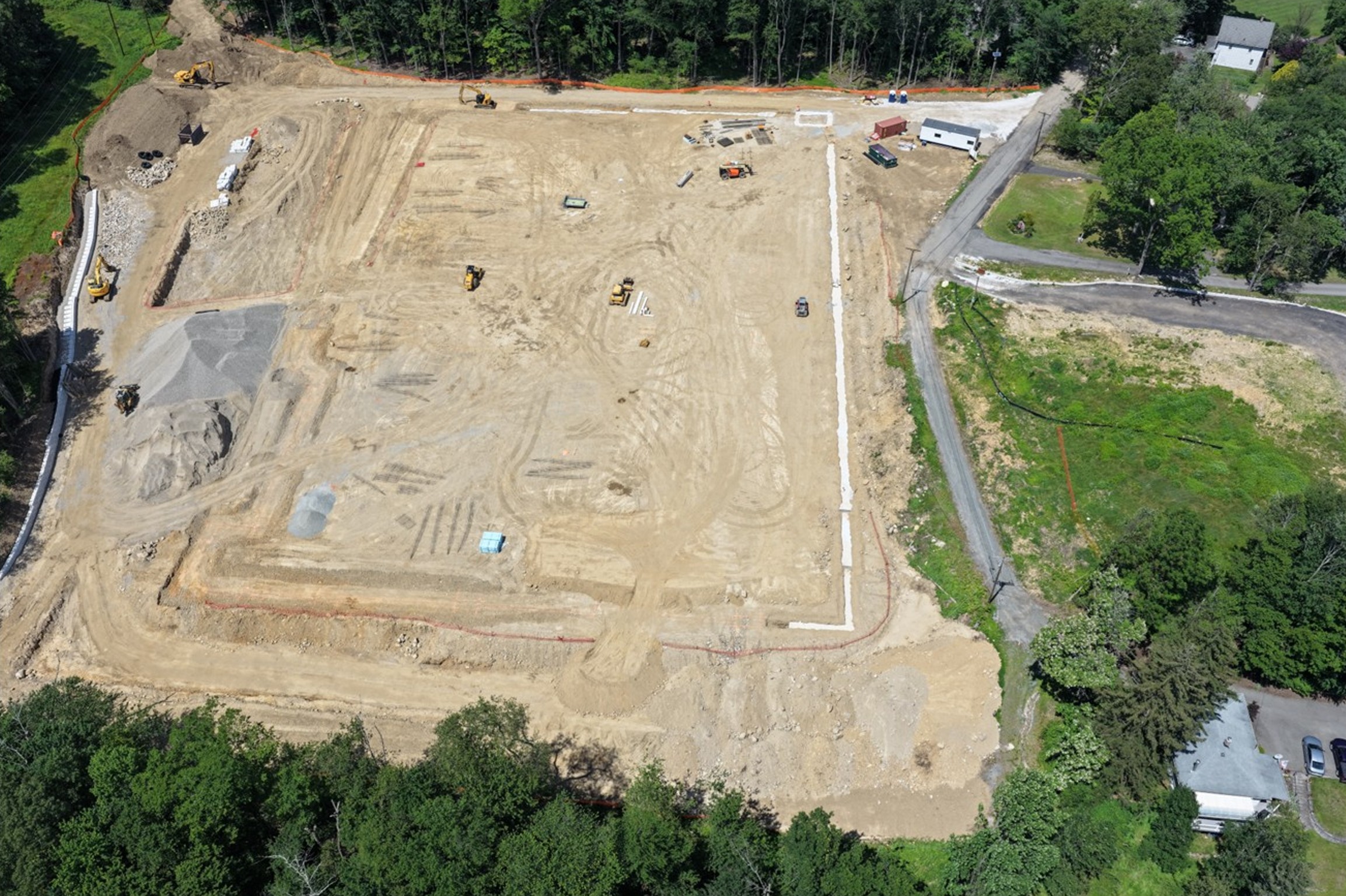
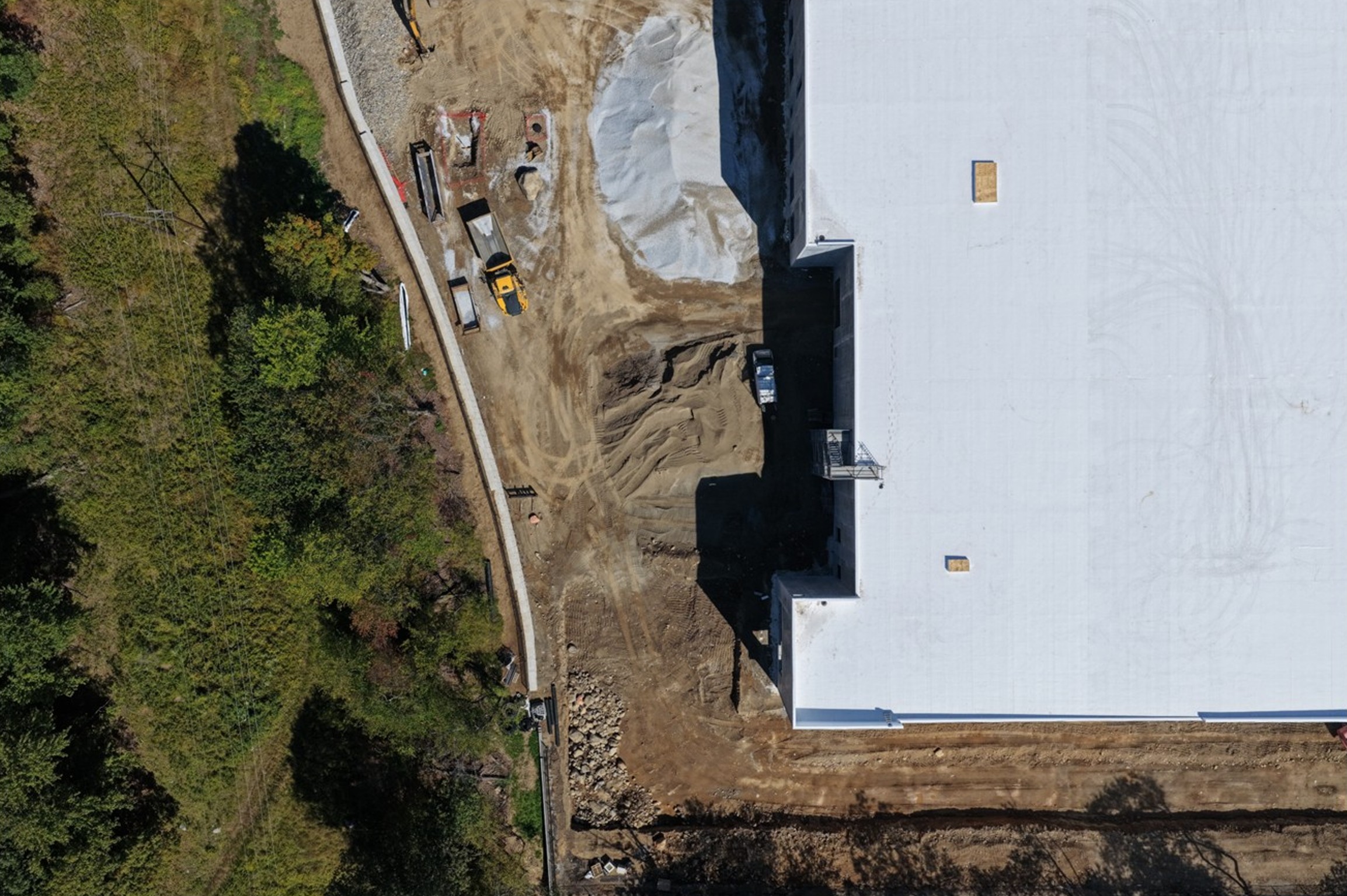
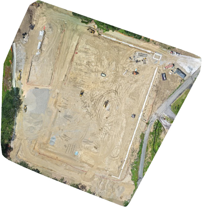
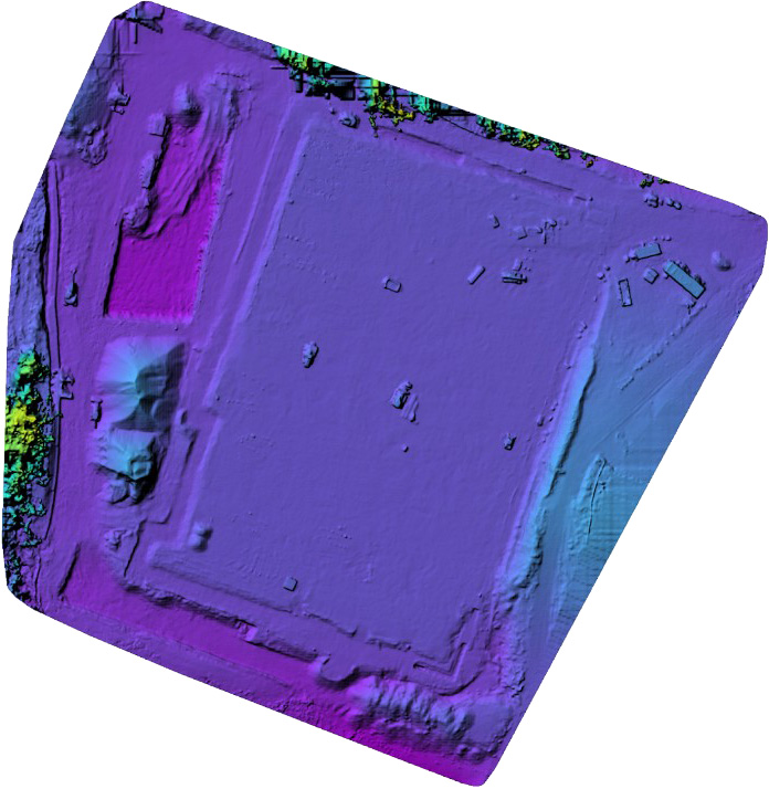
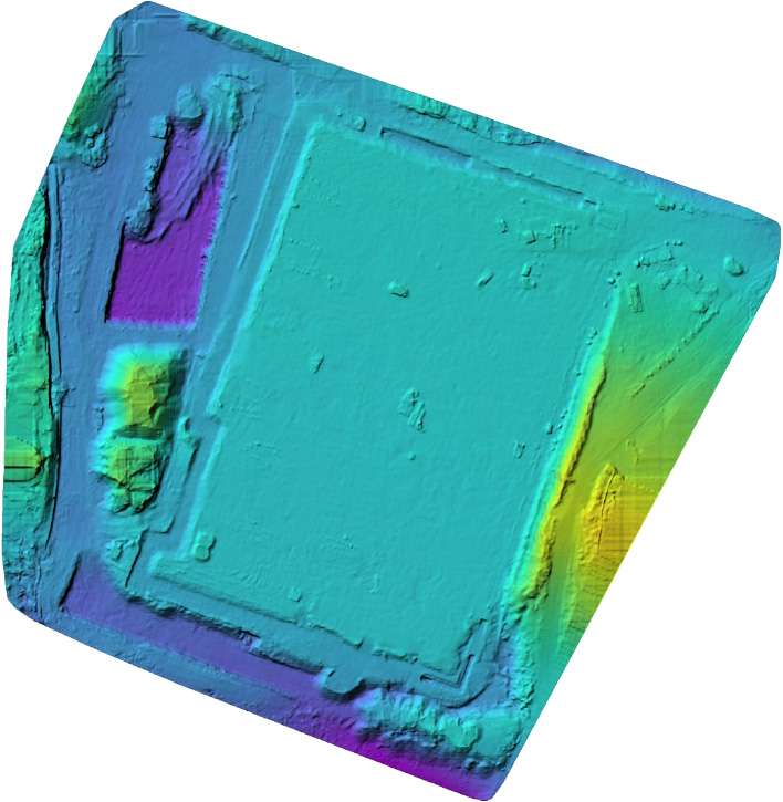
Construction Progress & Site Inspection

Why Add Drone Data to Your Toolkit?

  • Comprehensive Site Visibility: Real-time, bird's-eye views.
  • Accurate Progress Tracking: Monitor against blueprints.
  • Early Issue Detection: Identify safety hazards early.
  • Improved Communication: Clear visual updates for clients.
Drone view of construction site

Real-time view of project scope.

Close up drone view

High-resolution structural inspection.

Reduced Construction Costs

20% REDUCTION

Reduce costs through increased efficiency and the avoidance of costly rework.

Mapping & Digital Elevation Models

Precision for Construction and Agriculture

  • Super Detailed 3D Views: Incredibly precise models.
  • Fast Data Collection: Capture data in a fraction of the time.
  • Terrain Planning: Perfect for water flow and land use.

Model Visualization Examples:

Orthophoto Mapping
1. Orthophoto
DSM Example
2. Surface Model
DTM Example
3. Terrain Model
Specialized Imagery

Aerial Imagery for Insurance Adjusters

Capturing the full extent of property and structural impact with unmatched clarity and perspective, providing undeniable visual proof for insurance claims and documentation.

FAA PART 107 CERTIFIED REMOTE PILOT
  • Unrivaled Detail: Every shingle and structural element is visible.
  • Rapid Deployment: Eyes on property usualy within 24–48 hours.
  • Safety Focus: No risk of ladders or foot traffic on roofs.
  • GPS Accuracy: Geotagged visual proof for adjusters.

Our Visual Solutions

High-Res Imagery

Detailed captures of roofing systems to identify wind and hail damage.

Orthomosaic Mapping

Top-down, high-fidelity composite views for full assessments.

Perimeter Sweeps

Close-range imagery of fencing, landscaping, and outbuildings.

Structural Perspectives

Angles and viewpoints impossible to capture from the ground.
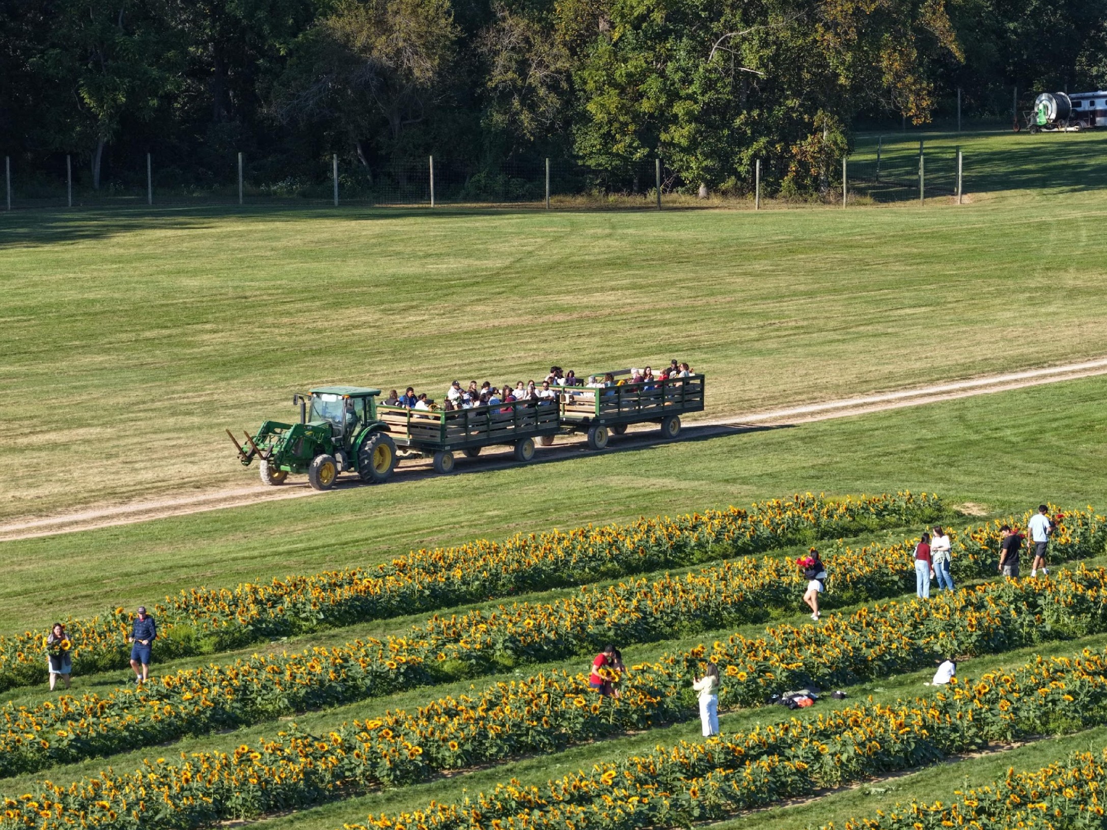
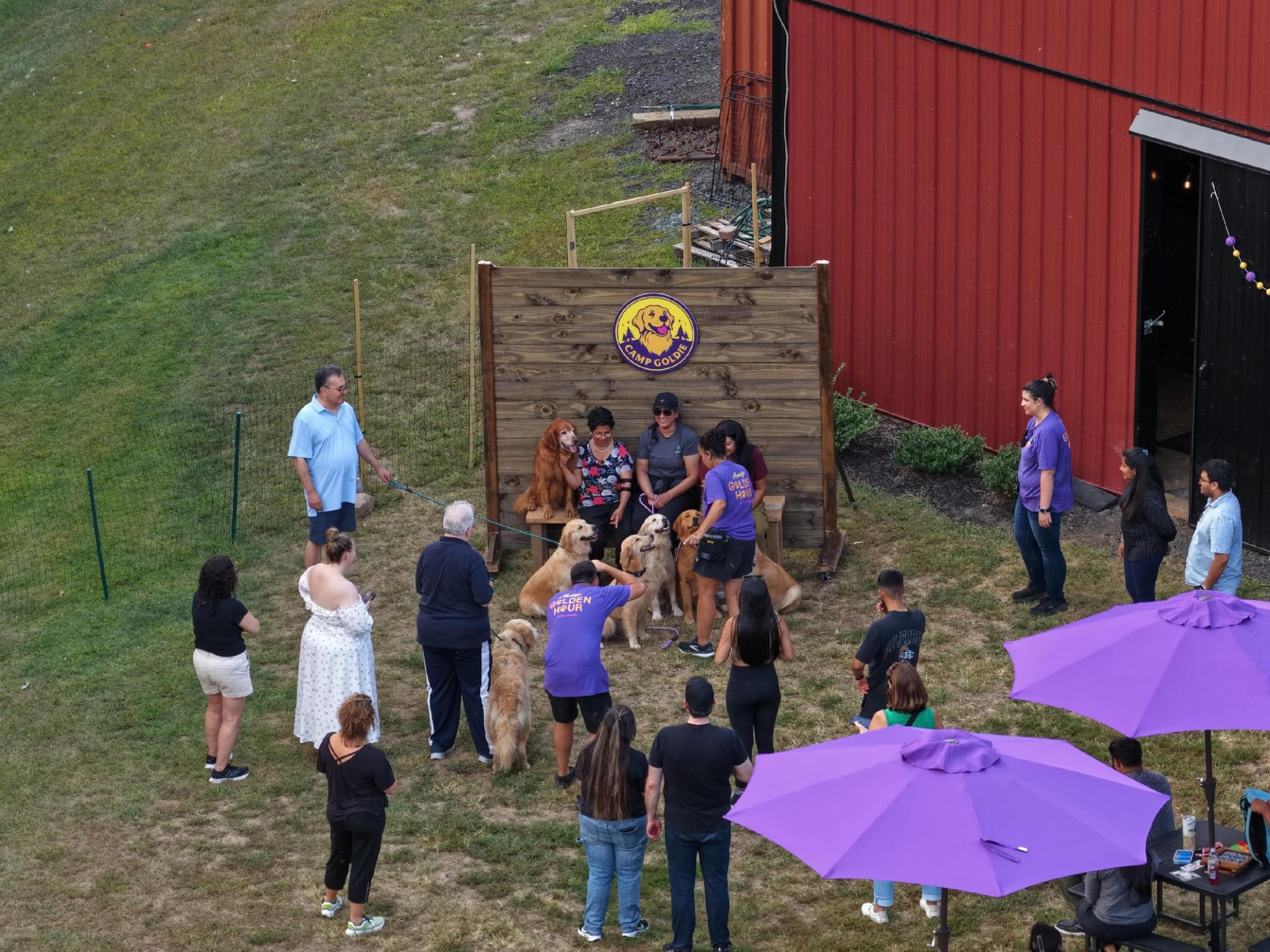
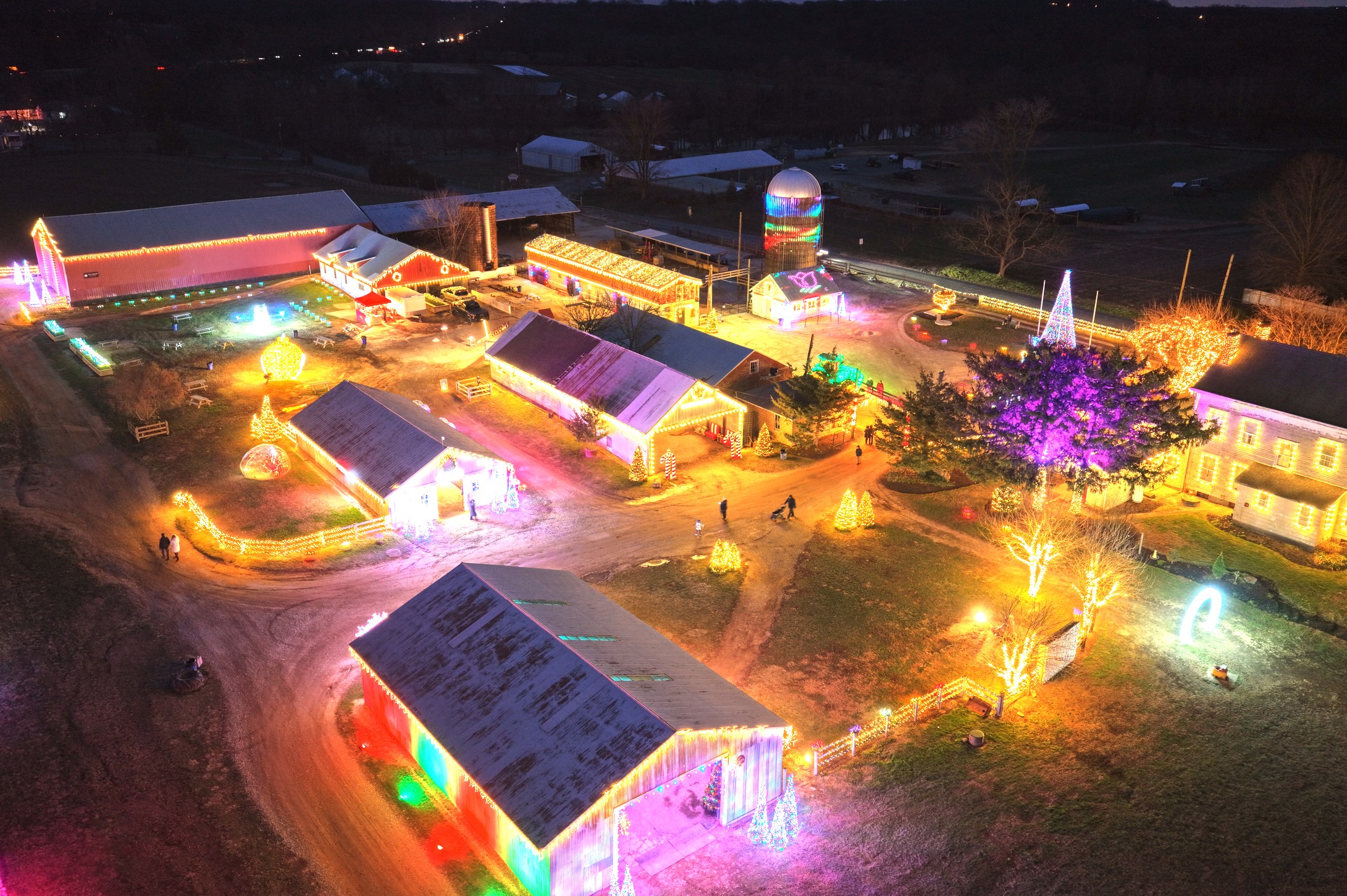
Event 1
Event 2
Event 3
Event 4
Event 5

Event & Venue Production

Make your Venue Shine in a New Light

  • Unrivaled Documentation: Capture scale in 4K/6K resolution.
  • High-Quality Photography: Enhance booking potential.

Ready to Add Marketability?

Flying Atlas Studios CORP.

Transforming data and atmosphere into visual assets that drive business growth.

Email: [email protected]

Phone: 973-727-7814